
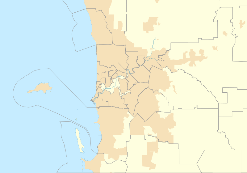
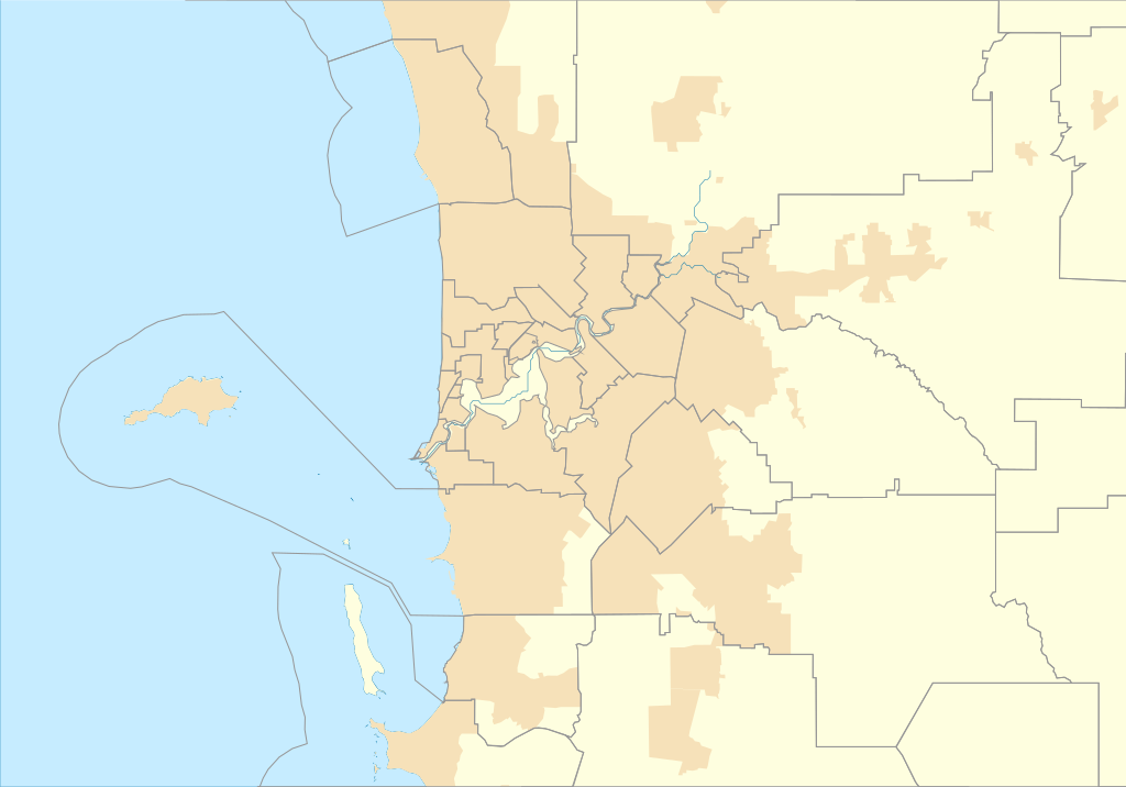
Datoteka:Australia Perth location map.svg

Veličina ovog PNG prikaza ove SVG datoteke: 800 × 559 piksela. Ostale razlučivosti: 320 × 224 piksela | 640 × 447 piksela | 1.024 × 716 piksela | 1.280 × 895 piksela | 2.560 × 1.790 piksela | 1.250 × 874 piksela.
Vidi sliku u punoj veličini (SVG datoteka, nominalno 1.250 × 874 piksela, veličina datoteke: 130 KB)
| Ova je datoteka sa Zajedničkog poslužitelja i mogu je rabiti drugi projekti. Opis s njezine stranice s opisom datoteke prikazan je ispod. |
Sažetak
| Opis |
English: Location map of Perth in Western Australia |
| Datum | |
| Izvor | Vlastito djelo postavljača |
| Autor | Run to the hills, cos the end of the world is soon! |
Licencija
Ja, nositelj autorskog prava za ovo djelo, ovime ga objavljujem pod sljedećom licencijom:
Ova datoteka je licencirana pod Creative Commons licencijom Imenovanje-Dijeli pod istim uvjetima 4.0 međunarodna.
- Slobodno smijete:
- dijeliti – umnožavati, distribuirati i javnosti priopćavati djelo
- remiksirati – prerađivati djelo
- Pod sljedećim uvjetima:
- imenovanje autora – Morate pripisati odgovarajuće autorske zasluge, dati poveznicu na licenciju, te naznačiti jesu li načinjene promjene autorskog djela. Prethodno navedeno možete učiniti na svaki razuman način, ali ne na način koji bi sugerirao da Vi ili Vaše korištenje licencorova djela ima izravno licencorovo odobrenje.
- dijeli pod istim uvjetima – Ako ovo djelo izmijenite, preoblikujete ili stvarate na osnovu tog materijala, svoje doprinose morate distribuirati pod istom ili kompatibilnom licencijom kao što je i licencija originala.
Povijest datoteke
Kliknite na datum/vrijeme kako biste vidjeli datoteku kakva je tada bila.
| Datum/Vrijeme | Minijatura | Dimenzije | Suradnik | Komentar | |
|---|---|---|---|---|---|
| sadašnja | 02:43, 17. rujna 2016. | | 1.250 × 874 (130 KB) | Run to the hills, cos the end of the world is soon! | User created page with UploadWizard |
Uporaba datoteke
Na ovu sliku vode poveznice sa sljedećih stranica:
Globalna uporaba datoteke
Sljedeći wikiji rabe ovu datoteku:
- Uporaba na en.wikipedia.org
- Fremantle
- Cape Peron
- Jualbup Lake
- Mount Eliza (Western Australia)
- Solidarity Park
- Barracks Arch
- Lake Monger
- Herdsman Lake
- Old Jarrah Tree
- Cottesloe Beach
- Forrestdale Lake
- Booragoon Lake
- Albany Bell Castle
- Beatty Park
- Bishop's House, Perth
- Perth Hebrew Congregation
- Thomsons Lake
- Castledare Boys' Home
- Public Transport Centre
- 2014 Perth Hills bushfire
- Module:Location map/data/Australia Perth
- User:Run to the hills, cos the end of the world is soon!/sandbox
- Module:Location map/data/Australia Perth/doc
- Shalom House
- Mundaring Weir Hotel
- Mahogany Inn
- Bassendean Fire Station
- Woodloes Homestead
- Newmarket Hotel
- Challenger Battery
- North Lake (Western Australia)
- Bibra Lake (Western Australia)
- 2021 Beechina bushfire
- User:Garzo/New Sandbox
- Uporaba na fr.wikipedia.org
Pogledajte globalnu uporabu ove datoteke.