
Datoteka:Confluence of the rivers Southern Bug and Dnieper.jpg

Vidi sliku u punoj veličini (7.586 × 2.944 piksela, veličina datoteke: 2,13 MB, MIME tip: image/jpeg)
| Ova je datoteka sa Zajedničkog poslužitelja i mogu je rabiti drugi projekti. Opis s njezine stranice s opisom datoteke prikazan je ispod. |
Sažetak
| Descripcion |
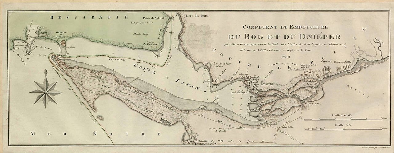
English: Map showing confluence of the rivers Southern Bug and Dnieper and the Dnieper-(Southern) Bug estuary. The map was created during the Russo-Turkish War of 1787–1792.
Svenska: Karta över Dnipro-Buh estuariet. |
||||||||||||||||||||||||||
| Datum | |||||||||||||||||||||||||||
| Izvor |
Utländska kartor, Ryssland, hydrografiska kartor, SE/KrA/0403/34/A/022b, bildid: K0022144_00001 https://sok.riksarkivet.se/arkiv/pxt3CiEqjagtKneJgfRFN3 |
||||||||||||||||||||||||||
| Stvaratelj |
Nepoznat |
||||||||||||||||||||||||||
| Dopuštenje (Naknadna uporaba ove datoteke) |
|
||||||||||||||||||||||||||
| Georeferencing | If inappropriate please set warp_status = skip to hide. | ||||||||||||||||||||||||||


Licencija
|
Ovo je djelo u javnom vlasništvu u zemlji podrijetla i u drugim zemljama s rokom trajanja autorskih prava za života autora plus 70 godina ili manje.
| |
| Ova datoteka je identificirana kao slobodna od poznatih ograničenja po zakonu o autorskim pravima, uključujući sva povezana i srodna prava. | |
Povijest datoteke
Kliknite na datum/vrijeme kako biste vidjeli datoteku kakva je tada bila.
| Datum/Vrijeme | Minijatura | Dimenzije | Suradnik | Komentar | |
|---|---|---|---|---|---|
| sadašnja | 11:46, 13. prosinca 2022. | 7.586 × 2.944 (2,13 MB) | DivadH | Uploaded a work by Unknown from https://sok.riksarkivet.se/arkiv/pxt3CiEqjagtKneJgfRFN3 with UploadWizard |
Uporaba datoteke
Na ovu sliku vode poveznice sa sljedećih stranica:
Globalna uporaba datoteke
Sljedeći wikiji rabe ovu datoteku:
- Uporaba na en.wikipedia.org
- Uporaba na sv.wikipedia.org